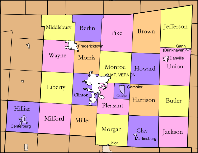
Knox County Map.png
From The RadioReference Wiki
Size of this preview: 776 × 599 pixels. Other resolutions: 311 × 240 pixels | 800 × 618 pixels.
Original file (800 × 618 pixels, file size: 145 KB, MIME type: image/png)
Map of Knox County, Ohio
File history
Click on a date/time to view the file as it appeared at that time.
| Date/Time | Thumbnail | Dimensions | User | Comment | |
|---|---|---|---|---|---|
| current | 18:42, 11 December 2012 | | 800 × 618 (145 KB) | Ibagli (talk | contribs) | |
| 19:12, 17 February 2012 | 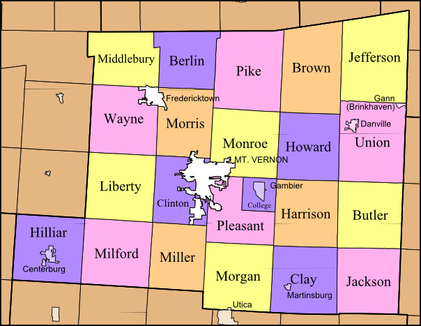 | 604 × 467 (104 KB) | Ibagli (talk | contribs) | Map of Knox County, Ohio |
- You cannot overwrite this file.
File usage
The following page uses this file: