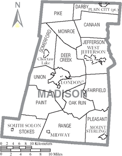
Madison County Ohio Map.png
From The RadioReference Wiki
No higher resolution available.
Madison_County_Ohio_Map.png (250 × 318 pixels, file size: 63 KB, MIME type: image/png)
File history
Click on a date/time to view the file as it appeared at that time.
| Date/Time | Thumbnail | Dimensions | User | Comment | |
|---|---|---|---|---|---|
| current | 11:27, 13 May 2019 | | 250 × 318 (63 KB) | Wa8pyr (talk | contribs) |
- You cannot overwrite this file.
File usage
The following page uses this file: