Difference between revisions of "Oregon Counties"
From The RadioReference Wiki
m (map) |
m (table format) |
||
| Line 1: | Line 1: | ||
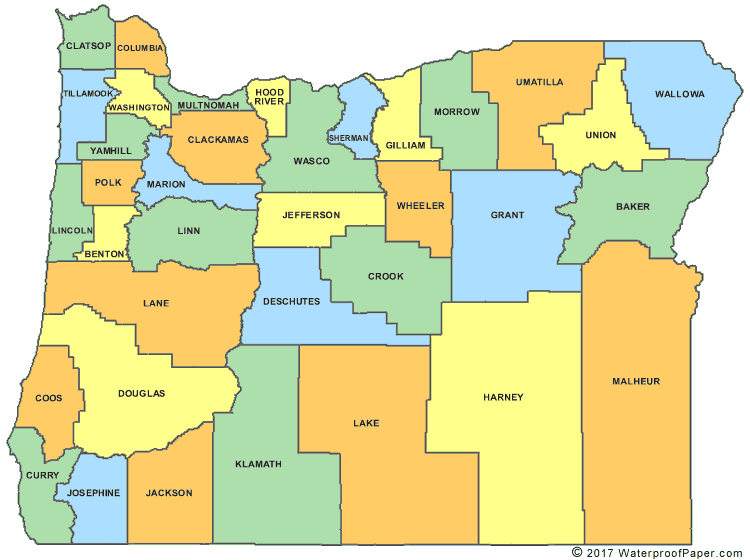
http://www.digital-topo-maps.com/county-map/oregon-county-map.gif <br>Map Courtesy of [http://www.digital-topo-maps.com/county-map/oregon.shtml Digital-Topo-Maps.com] | http://www.digital-topo-maps.com/county-map/oregon-county-map.gif <br>Map Courtesy of [http://www.digital-topo-maps.com/county-map/oregon.shtml Digital-Topo-Maps.com] | ||
| + | {| width="100%" style="vertical-align:top" | ||
| + | |width="25%"| | ||
* [[Baker County (OR)]] | * [[Baker County (OR)]] | ||
* [[Benton County (OR)]] | * [[Benton County (OR)]] | ||
| Line 13: | Line 15: | ||
* [[Gilliam County (OR)]] | * [[Gilliam County (OR)]] | ||
* [[Grant County (OR)]] | * [[Grant County (OR)]] | ||
| + | |width="25%"| | ||
* [[Harney County (OR)]] | * [[Harney County (OR)]] | ||
* [[Hood River County (OR)]] | * [[Hood River County (OR)]] | ||
| Line 25: | Line 28: | ||
* [[Malheur County (OR)]] | * [[Malheur County (OR)]] | ||
* [[Marion County (OR)]] | * [[Marion County (OR)]] | ||
| + | |width="25%"| | ||
* [[Morrow County (OR)]] | * [[Morrow County (OR)]] | ||
* [[Multnomah County (OR)]] | * [[Multnomah County (OR)]] | ||
| Line 37: | Line 41: | ||
* [[Wheeler County (OR)]] | * [[Wheeler County (OR)]] | ||
* [[Yamhill County (OR)]] | * [[Yamhill County (OR)]] | ||
| − | + | |} | |