Difference between revisions of "Passaic County (NJ)"
From The RadioReference Wiki
(Created page with "= Passaic County = Passaic County has an area of 197.1 square miles and is segmented into a densely populated southeastern section and a more rural northwestern section. Passai...") |
(added category name) |
||
| Line 44: | Line 44: | ||
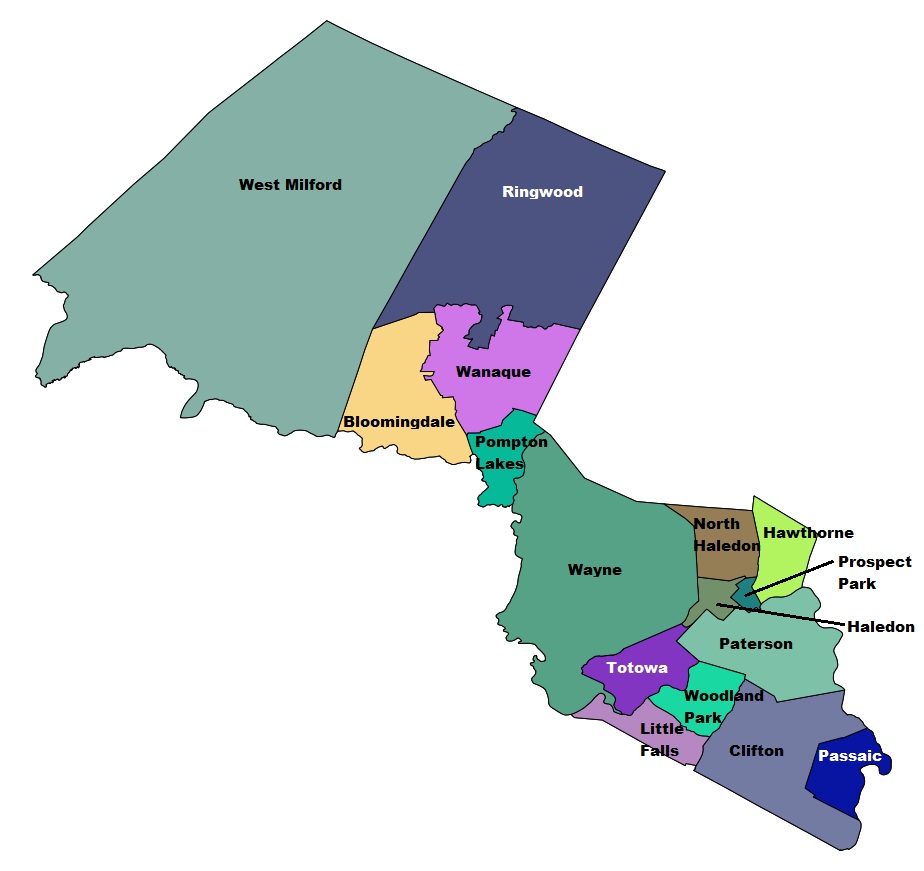
[[File:Passaic County.jpg]] | [[File:Passaic County.jpg]] | ||
| + | |||
| + | [[Category:New Jersey]] | ||
Revision as of 20:27, 30 January 2014
Passaic County
Passaic County has an area of 197.1 square miles and is segmented into a densely populated southeastern section and a more rural northwestern section.
Passaic County consists of 16 municipalities:
- West Milford
- Ringwood
- Bloomingdale
- Wanaque
- Pompton Lakes
- Wayne
- North Haledon
- Haledon
- Totowa
- Little Falls
- Woodland Park (formerly West Paterson)
- Prospect Park
- Hawthorne
- Paterson
- Clifton
- Passaic
The communities of:
- Macopin (Bloomingdale)
- Singac (Little Falls)
- Haskell (Wanaque)
- Packanack Lake (Wayne)
- Pines Lake (Wayne)
- Preakness (Wayne)
- Hewett (West Milford)
- New Foundland (West Milford)
- Oakridge (West Milford)
And all or part of:
- Ringwood Manor State Park
- Abram S. Hewitt State Forest
- Norvin Green State Forest
- Waywayanda State Park
- Ramapo Mountain
- Long Pond Iron Works
- Greenwood Lake
- Ramapo Lake
- Wanaque Reservoir
