Difference between revisions of "Utah Counties"
From The RadioReference Wiki
m (map) |
m (table format) |
||
| Line 1: | Line 1: | ||
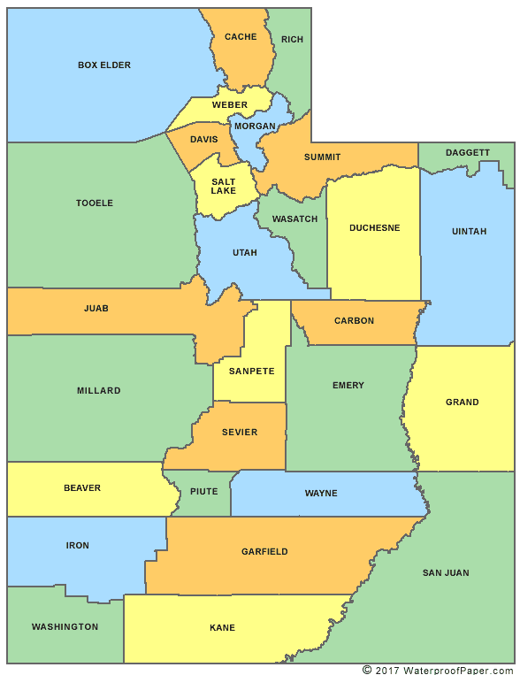
http://www.digital-topo-maps.com/county-map/utah-county-map.gif<br>Map Courtesy of [http://www.digital-topo-maps.com/county-map/utah.shtml Digital-Topo-Maps.com] | http://www.digital-topo-maps.com/county-map/utah-county-map.gif<br>Map Courtesy of [http://www.digital-topo-maps.com/county-map/utah.shtml Digital-Topo-Maps.com] | ||
| + | {| width="100%" style="vertical-align:top" | ||
| + | |width="25%"| | ||
* [[Beaver County (UT)]] | * [[Beaver County (UT)]] | ||
* [[Box Elder County (UT)]] | * [[Box Elder County (UT)]] | ||
| Line 11: | Line 13: | ||
* [[Garfield County (UT)]] | * [[Garfield County (UT)]] | ||
* [[Grand County (UT)]] | * [[Grand County (UT)]] | ||
| + | |width="25%"| | ||
* [[Iron County (UT)]] | * [[Iron County (UT)]] | ||
* [[Juab County (UT)]] | * [[Juab County (UT)]] | ||
| Line 21: | Line 24: | ||
* [[San Juan County (UT)]] | * [[San Juan County (UT)]] | ||
* [[Sanpete County (UT)]] | * [[Sanpete County (UT)]] | ||
| + | |width="25%"| | ||
* [[Sevier County (UT)]] | * [[Sevier County (UT)]] | ||
* [[Summit County (UT)]] | * [[Summit County (UT)]] | ||
| Line 30: | Line 34: | ||
* [[Wayne County (UT)]] | * [[Wayne County (UT)]] | ||
* [[Weber County (UT)]] | * [[Weber County (UT)]] | ||
| − | + | |} | |