Difference between revisions of "Washington Counties"
From The RadioReference Wiki
m (map) |
m (table format) |
||
| Line 1: | Line 1: | ||
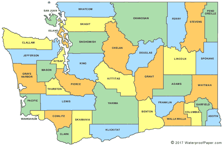
http://www.digital-topo-maps.com/county-map/washington-county-map.gif<br>Map Courtesy of [http://www.digital-topo-maps.com/county-map/washington.shtml Digital-Topo-Maps.com] | http://www.digital-topo-maps.com/county-map/washington-county-map.gif<br>Map Courtesy of [http://www.digital-topo-maps.com/county-map/washington.shtml Digital-Topo-Maps.com] | ||
| + | {| width="100%" style="vertical-align:top" | ||
| + | |width="25%"| | ||
* [[Adams County (WA)]] | * [[Adams County (WA)]] | ||
* [[Asotin County (WA)]] | * [[Asotin County (WA)]] | ||
| Line 14: | Line 16: | ||
* [[Garfield County (WA)]] | * [[Garfield County (WA)]] | ||
* [[Grant County (WA)]] | * [[Grant County (WA)]] | ||
| + | |width="25%"| | ||
* [[Grays Harbor County (WA)]] | * [[Grays Harbor County (WA)]] | ||
* [[Island County (WA)]] | * [[Island County (WA)]] | ||
| Line 27: | Line 30: | ||
* [[Pacific County (WA)]] | * [[Pacific County (WA)]] | ||
* [[Pend Oreille County (WA)]] | * [[Pend Oreille County (WA)]] | ||
| + | |width="25%"| | ||
* [[Pierce County (WA)]] | * [[Pierce County (WA)]] | ||
* [[San Juan County (WA)]] | * [[San Juan County (WA)]] | ||
| Line 40: | Line 44: | ||
* [[Whitman County (WA)]] | * [[Whitman County (WA)]] | ||
* [[Yakima County (WA)]] | * [[Yakima County (WA)]] | ||
| − | + | |} | |
Revision as of 06:27, 20 October 2014
Map Courtesy of Digital-Topo-Maps.com
Return to DB page: Washington
Return to Wiki page: Washington (US)