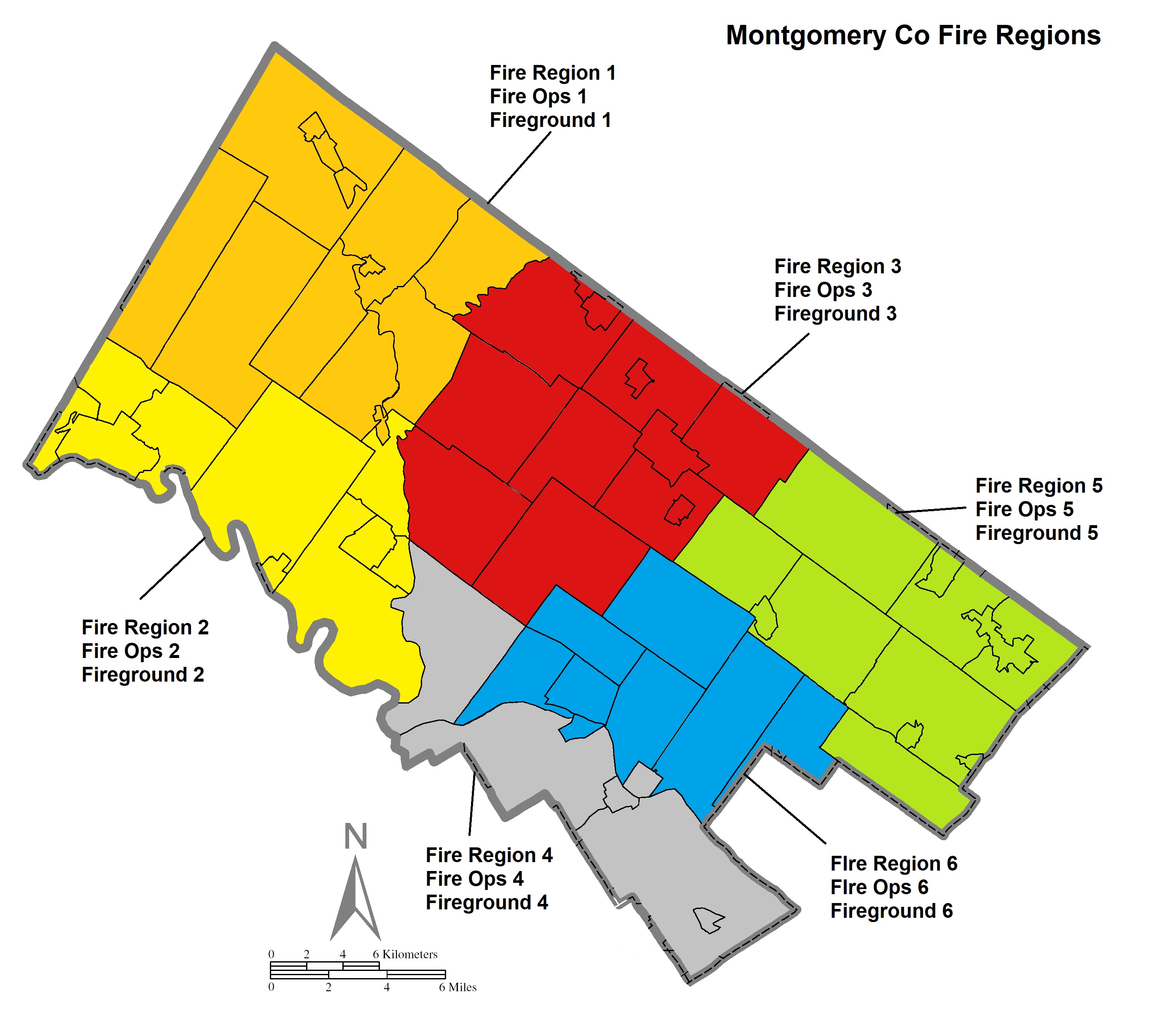
Montgomery County Fire Regions.jpg
From The RadioReference Wiki
Size of this preview: 685 × 600 pixels. Other resolutions: 274 × 240 pixels | 2,789 × 2,442 pixels.
Original file (2,789 × 2,442 pixels, file size: 735 KB, MIME type: image/jpeg)
Map of Montco fire regions.
File history
Click on a date/time to view the file as it appeared at that time.
| Date/Time | Thumbnail | Dimensions | User | Comment | |
|---|---|---|---|---|---|
| current | 19:56, 13 January 2025 | | 2,789 × 2,442 (735 KB) | HM1529 (talk | contribs) |
- You cannot overwrite this file.
File usage
The following page uses this file: