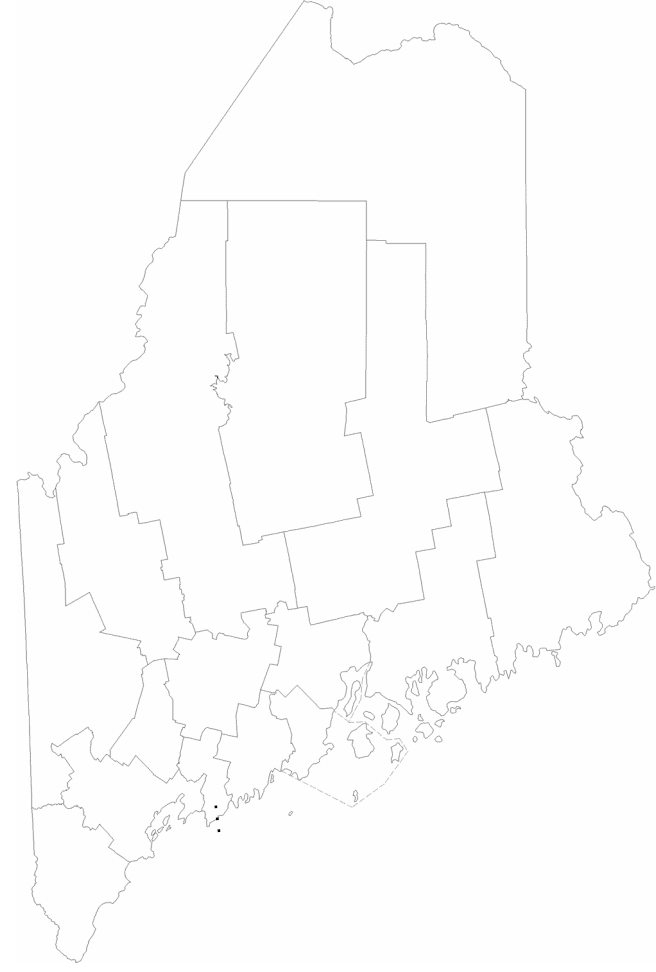
Maine-counties.png
From The RadioReference Wiki
Revision as of 07:07, 19 July 2023 by A417 (talk | contribs) (A417 uploaded a new version of File:Maine-counties.png)
Revision as of 07:07, 19 July 2023 by A417 (talk | contribs) (A417 uploaded a new version of File:Maine-counties.png)
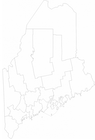
Size of this preview: 404 × 599 pixels. Other resolutions: 162 × 240 pixels | 656 × 972 pixels.
Original file (656 × 972 pixels, file size: 87 KB, MIME type: image/png)
Summary
maine county map in png form
File history
Click on a date/time to view the file as it appeared at that time.
| Date/Time | Thumbnail | Dimensions | User | Comment | |
|---|---|---|---|---|---|
| current | 07:07, 19 July 2023 | | 656 × 972 (87 KB) | A417 (talk | contribs) | |
| 20:48, 18 July 2023 | 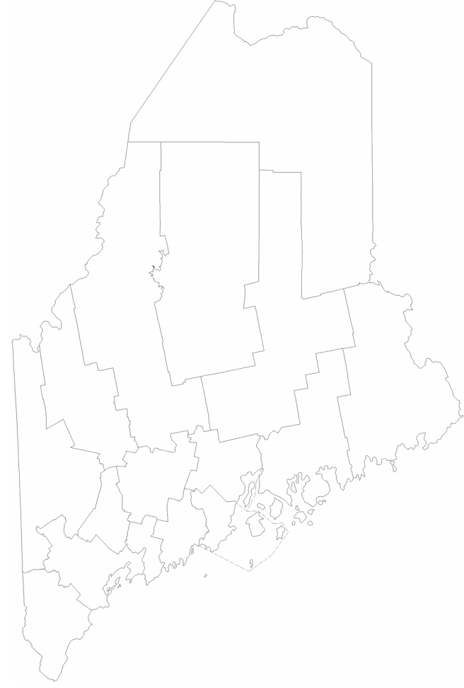 | 656 × 972 (79 KB) | A417 (talk | contribs) | maine county map in png form |
- You cannot overwrite this file.
File usage
The following 2 pages uses this file: