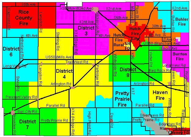
Reno Co FireDist map.gif
From The RadioReference Wiki
No higher resolution available.
Reno_Co_FireDist_map.gif (624 × 450 pixels, file size: 25 KB, MIME type: image/gif)
Reno County Kansas Fire District Map
File history
Click on a date/time to view the file as it appeared at that time.
| Date/Time | Thumbnail | Dimensions | User | Comment | |
|---|---|---|---|---|---|
| current | 22:55, 22 April 2009 | | 624 × 450 (25 KB) | Fast2okc (talk | contribs) | Reno County Kansas Fire District Map |
- You cannot overwrite this file.
File usage
The following page uses this file: