Difference between revisions of "Westdetail.gif"
From The RadioReference Wiki
Unitcharlie (talk | contribs) (Lexington/Fayette Urban County West Sector Map) |
(No difference)
|
Latest revision as of 13:50, 9 April 2009
Lexington/Fayette Urban County West Sector Map
File history
Click on a date/time to view the file as it appeared at that time.
| Date/Time | Thumbnail | Dimensions | User | Comment | |
|---|---|---|---|---|---|
| current | 13:50, 9 April 2009 | 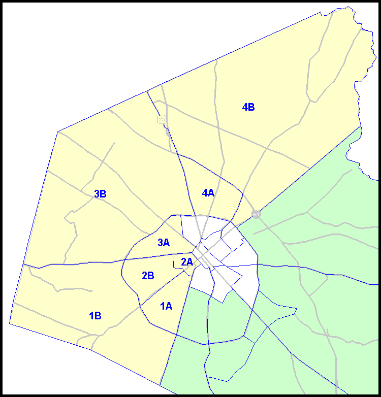 | 750 × 782 (20 KB) | Unitcharlie (talk | contribs) | Lexington/Fayette Urban County West Sector Map |
- You cannot overwrite this file.
File usage
The following page uses this file: