Reynolds County (MO)
From The RadioReference Wiki
Return to Reynolds County MO Database page MOSWIN Unit IDs (UIDs, RIDs)
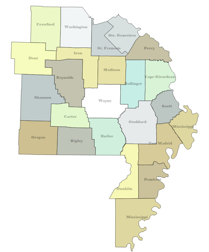
Return to Missouri main Database page and/or WIKI; Counties/Map
Contents
Reynolds County Sheriff
- 852.0375 Base/Mobile Extenders, 807.0375 Mobiles (P25/NFM) WQQS915
- 155.250 BM (Old)Sheriff: Dispatch KQO319 [Expired 3/23] Deprecated 4/26/24
- 155.130 159.405 RM Highway Department WPYD332 [Expired 1/13] Deprecated 4/26/24
Former VHF [Expired 12/17]
- 151.2425/156.00750 WQIA323 RM Reyn ShrfNew Sheriff: New (Lesterville)
- 453.53750 WQIA323 F Reyn ShrfRF1 Sheriff: Remote Links
- 453.68750 WQIA323 F Reyn ShrfRF2 Sheriff: Remote Links
- 453.73750 WQIA323 F Reyn ShrfRF3 Sheriff: Remote Links
453.77500 WQIA323 F Reyn ShrfRF4 Sheriff: Remote Links
North Reynolds County Fire Protection District (Lesterville)
- 159.375 Repeater with 153.7625 input (NFM) WQQD395
Districts
North Reynolds Fire
- Use Fire Mutual Aid LZ (Landing Zone) for Med-Evac (ARCH Helicopter)
Municipalities
Buckner
Ellington
Garwood
Hospitals
Advanced Healthcare Medical Center (Ellington) WEB
Schools
Centreville R1 School District
- 462.5 Repeater at Ironton-Iron, FX1@Centerville-Reynolds, FX1 at Bismark-St Francis WQKX260
Southern Reynolds Co R2 School District
- 152.99R/159.765, 152.99 Base/Mobile Ellinton (DMR/NFM) WRDH589
Businesses
Twin Rivers Landing (Lesterville)
- Outdoor Entertainment - 151.865 Base/Mobile (NFM) WRYA872
M and A Electric Power Cooperative WEB Service Area MAP
- of Poplar Bluff/Butler
- 2.6 mi NE of Rt. 34, Garwood: 48.18 1194 ERP Base on 48.18 (WFM) KFE929