KE5ZBG/Sandbox
From The RadioReference Wiki
Contents
Individual New Mexico DTRS Site Information
The intent here is to include information that isn't in the Radio Reference Database. For other DTRS information for the state, see New Mexico Statewide Public Safety Radio System.
- Comanche Hill (1-001) (Roswell East)
- Roswell HD (1-002) (Roswell)
- Tesuque Peak (1-003) (Santa Fe)
- Sandia Crest (1-004) (Albuquerque)
- West Mesa (1-005) (defunct)
- Cedro Peak (1-006) (ABQ East Mountains)
- Transportable Site (1-007)
- Bataan Building (1-008) (Santa Fe Downtown)
- Caballo Peak (1-009) (T or C)
- BC Landfill (1-010) (Albuquerque West)
- Albuquerque Simulcast (1-011) (Albuquerque Urban)
- Los Lunas Dispatch (1-015) (Los Lunas)
- A Mountain (1-016) (Las Cruces Southwest)
- Socorro - M Mountain (1-017) (Socorro)
- Buck Mountain (1-018) (Ruidoso North)
- Midway (1-19) (Portales North)
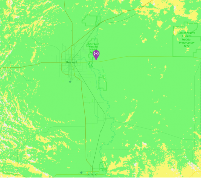
- Mesa Rest Stop (1-20) (Roswell North)
- Rio Rancho Simulcast (1-021) (Rio Rancho)
- Pajarito Peak (1-022) (San Ysidro/Zia Pueblo)
- Placitas (1-023) (Placitas)
- BC-FS41 (1-0) (Cedro/Ponderosa Pine, Oak Flats)
- BC-SE (1-0) (Whispering Pines/Escabosa)
- Capilla Peak (1-0) (Belen/Torrance)
- Cerro Pelado (1-0) (Jemez Springs)
- Eureka Mesa (1-26) (Cuba)
- Aden Hills (1-27) (Las Cruces West)
- Alamogordo (1-28) (Alamogordo SP)
- Benson Ridge (1-29) (Cloudcroft)
- Little Florida (1-32) (Deming)
- Lookout Mountain (1-33) (Lordsburg)
- Pinos Altos (1-34) (Silver City)
- Living Desert (1-42) (Carlsbad)
- Carlsbad East (Tower Hill) (1-42) (Carlsbad)
- SID 21953 (T DB35) Ch 06-3382
- Ch 06-2603
- Ch 08-1335
- Ch 12-3895
Overview Maps of DTRS sites
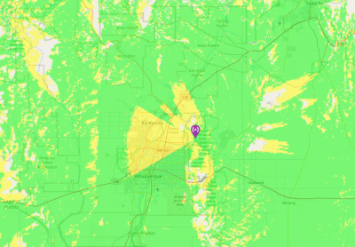
Albuquerque Metro
[Click here for full resolution]
Note: Caballo (1-009) not shown.
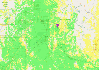
Santa Fe
[Click here for full resolution]
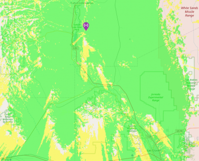
Caballo
[Click here for full resolution]


