Difference between revisions of "300px-Map of Clark County Ohio With Municipal and Township Labels.PNG"
From The RadioReference Wiki
(Map of Clark County, Ohio) |
(No difference)
|
Latest revision as of 23:18, 8 April 2010
Map of Clark County, Ohio
File history
Click on a date/time to view the file as it appeared at that time.
| Date/Time | Thumbnail | Dimensions | User | Comment | |
|---|---|---|---|---|---|
| current | 23:18, 8 April 2010 | 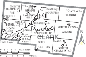 | 300 × 198 (68 KB) | Radioscan (talk | contribs) | Map of Clark County, Ohio |
- You cannot overwrite this file.
File usage
The following page uses this file: