DodgeWImap.gif
From The RadioReference Wiki
Size of this preview: 592 × 599 pixels. Other resolutions: 237 × 240 pixels | 900 × 911 pixels.
Original file (900 × 911 pixels, file size: 185 KB, MIME type: image/gif)
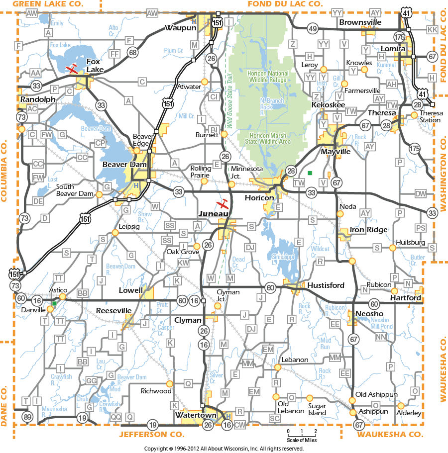
Map of Dodge County WI.
File history
Click on a date/time to view the file as it appeared at that time.
| Date/Time | Thumbnail | Dimensions | User | Comment | |
|---|---|---|---|---|---|
| current | 14:05, 7 April 2013 | | 900 × 911 (185 KB) | Kc0wkp (talk | contribs) | Map of Dodge County WI. |
- You cannot overwrite this file.
File usage
The following page uses this file: