Difference between revisions of "South Dakota Counties"
From The RadioReference Wiki
m (map) |
m (table format) |
||
| Line 1: | Line 1: | ||
http://www.digital-topo-maps.com/county-map/south-dakota-county-map.gif<br>Map Courtesy of [http://www.digital-topo-maps.com/county-map/south-dakota.shtml Digital-Topo-Maps.com] | http://www.digital-topo-maps.com/county-map/south-dakota-county-map.gif<br>Map Courtesy of [http://www.digital-topo-maps.com/county-map/south-dakota.shtml Digital-Topo-Maps.com] | ||
| + | {| width="100%" style="vertical-align:top" | ||
| + | |width="25%"| | ||
* [[Aurora County (SD)]] | * [[Aurora County (SD)]] | ||
* [[Beadle County (SD)]] | * [[Beadle County (SD)]] | ||
| Line 23: | Line 25: | ||
* [[Douglas County (SD)]] | * [[Douglas County (SD)]] | ||
* [[Edmunds County (SD)]] | * [[Edmunds County (SD)]] | ||
| + | |width="25%"| | ||
* [[Fall River County (SD)]] | * [[Fall River County (SD)]] | ||
* [[Faulk County (SD)]] | * [[Faulk County (SD)]] | ||
| Line 45: | Line 48: | ||
* [[Marshall County (SD)]] | * [[Marshall County (SD)]] | ||
* [[McCook County (SD)]] | * [[McCook County (SD)]] | ||
| + | |width="25%"| | ||
* [[McPherson County (SD)]] | * [[McPherson County (SD)]] | ||
* [[Meade County (SD)]] | * [[Meade County (SD)]] | ||
| Line 67: | Line 71: | ||
* [[Yankton County (SD)]] | * [[Yankton County (SD)]] | ||
* [[Ziebach County (SD)]] | * [[Ziebach County (SD)]] | ||
| − | + | |} | |
Revision as of 11:42, 20 October 2014
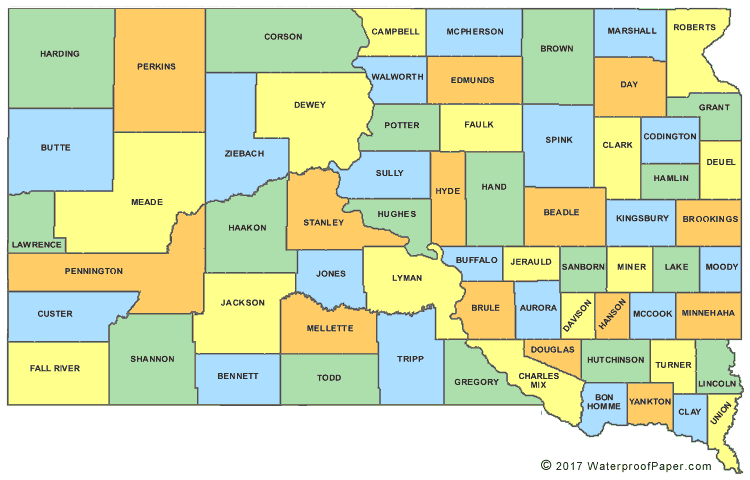
Map Courtesy of Digital-Topo-Maps.com
Return to DB page: South Dakota
Return to Wiki page: South Dakota (US)