Difference between revisions of "Ohio Counties"
From The RadioReference Wiki
(moved county numbers from Ohio County Numbers to clear redundancy on that page.) |
m (compass) |
||
| Line 100: | Line 100: | ||
| − | + | ==Surrounding Counties== | |
| − | + | {{Geographic Location | |
| + | | Northwest = [[Michigan Counties]] | ||
| + | | North = | ||
| + | | Northeast = | ||
| + | | West = [[Indiana Counties]] | ||
| + | | Center = Ohio Counties | ||
| + | | East = [[Pennsylvania Counties]] | ||
| + | | Southwest = [[Kentucky Counties]] | ||
| + | | South = [[Kentucky Counties]] | ||
| + | | Southeast = [[West Virginia Counties]] | ||
| + | }} | ||
Revision as of 17:31, 7 June 2015
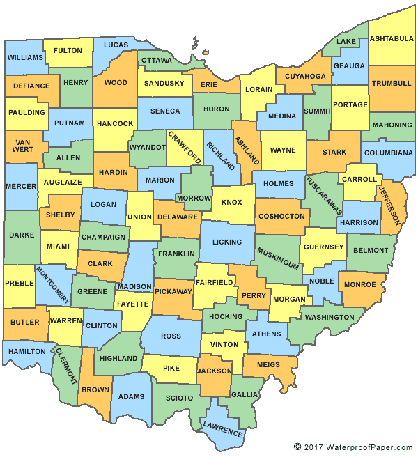
Map Courtesy of Digital-Topo-Maps.com
- County Numbers are in parentheses.
Surrounding Counties

|
Michigan Counties |
| ||
| Indiana Counties | Pennsylvania Counties | |||
| Kentucky Counties | Kentucky Counties | West Virginia Counties |
Return to DB page: Ohio
Return to Wiki pages: Ohio (US), State of Ohio MARCS - Multi-Agency Radio Communications